.png)
IBIS™ makes sensor data immediately actionable for the operator at the edge. From data to a decision-ready map, chart, or answer within seconds.
.png)
IBIS™ (Information Bridging and Integration System) sits between your sensors and your Common Operating Picture (COP), turning raw collection into an answer any operator can interact with and act on right away.
It plugs into the tools you already field on both ends and ensures the data flowing into your COP is decision-ready.
Drag and drop collected data onto the laptop connected to your device that hosts IBIS™.
IBIS™ fuses and indexes your data, no manual work or resource-intensive hours required.
Type any question in plain English, no special training required. IBIS™ answers with text or a visualization in seconds.

IBIS™ gives operators a secure, plain-language way to interrogate their data, wherever the mission takes them.

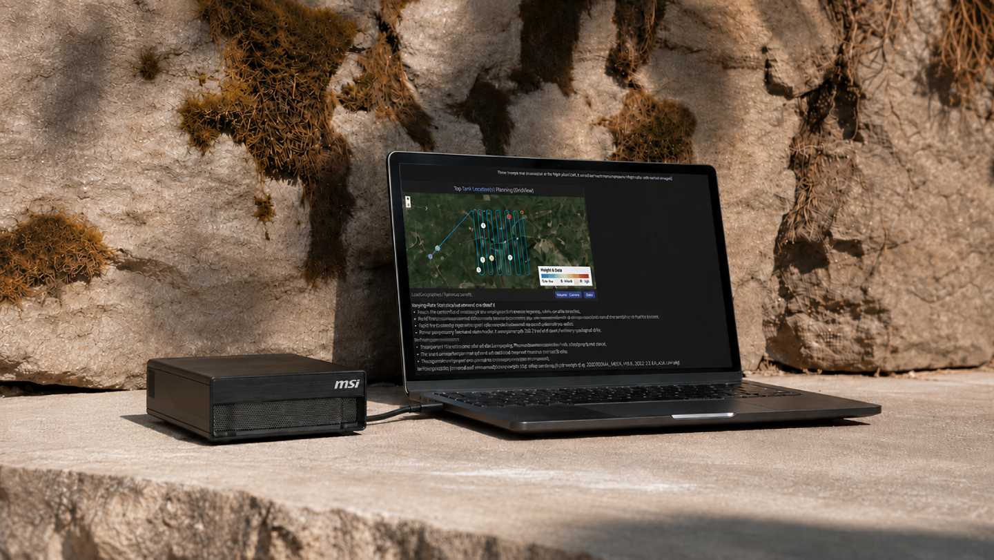
IBIS™ can run on a single hand-carried device, 6 x 6 x 2 inches and 2.65 pounds, powered from a field generator. It doesn’t need a connection to the cloud.
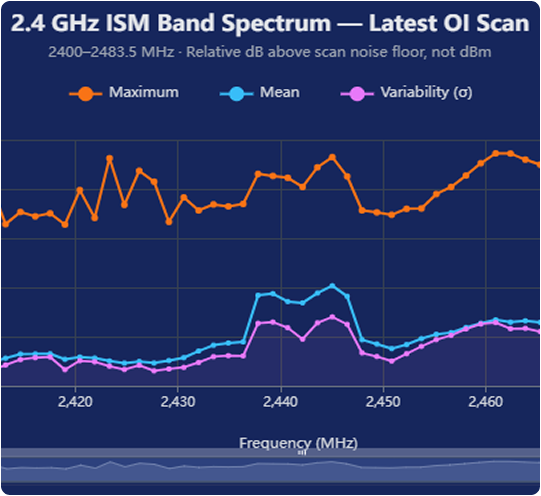
Every computation happens on the device. Nothing is uploaded, synced, or sent anywhere, so sensitive data stays inside your perimeter, even with every radio off.

Ask a question in plain language and get an answer pulled straight from your data, never invented by the model. IBIS™ also surfaces the patterns, signals, and anomalies your team might not have thought to query.
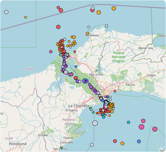
When a decision gets questioned, the operator can trace it to the source in seconds.

IBIS™ ships on commercial off-the-shelf hardware configured with the software, deployed directly or through your systems integrator. Onboarding takes about 20 minutes, with no special training required.
IBIS™ adds the discovery layer on top to make your existing sensors, platforms, and common picture smarter and faster.
Ingests data from any platform that can export it, validated with the Heaviside MOTH and UAS-mounted SDR platforms.
Exports to ATAK and WinTAK for the tactical edge, and to ArcGIS and QGIS for planning.
Feeds command platforms like Palantir MSS and Anduril. Command sees data that is already interrogated.
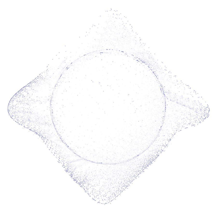
IBIS™ fuses sensor data into actionable outputs wherever your mission runs.

.png)
Today, EW collection exceeds our ability to analyze that data for insights. IBIS™ allows RF data from any collection platform and translates queries into geolocation maps. Commanders can act while adversaries are still analyzing their data.
Explore electronic warfare
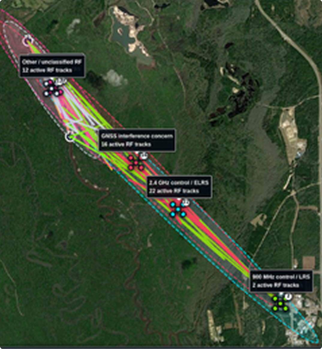
IBIS™ fuses sensor data on UAVs and swarms into a single searchable picture of what's in the air. Operators ask plain English questions instead of interpreting raw spectrum, so a non-technical user can identify, track, and cue a response to drone activity in real time.
Explore C-UAS

IBIS™ fuses multi-source maritime sensor feeds so that operators can interrogate the data directly. This was deployed with the US Navy in 2026.
Explore maritime
Today, EW collection exceeds our ability to analyze that data for insights. IBIS™ allows RF data from any collection platform and translates queries into geolocation maps. Commanders can act while adversaries are still analyzing their data.
Explore electronic warfare
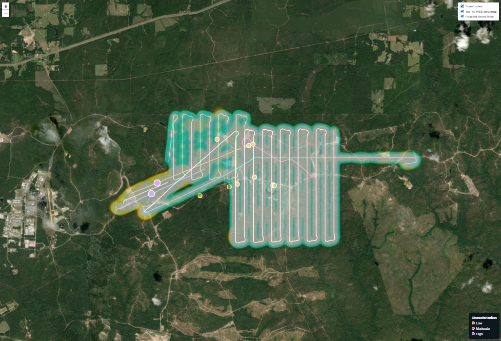
IBIS™ fuses sensor data on UAVs and swarms into a single searchable picture of what's in the air. Operators ask plain English questions instead of interpreting raw spectrum, so a non-technical user can identify, track, and cue a response to drone activity in real time.
Explore C-UAS
IBIS™ fuses multi-source maritime sensor feeds so that operators can interrogate the data directly. This was deployed with the US Navy in 2026.
Explore maritime%20(2).jpg)
IBIS™ becomes the embedded software capability inside your hardware deals and prime contracts.
As the discovery layer, it adds a competitive edge to your offerings so your customer receives a complete, interoperable capability.
Those platforms live at the connected headquarters echelon and need data engineers to configure them. IBIS™ operates upstream, in the disconnected edge, with no data engineer in the loop. It feeds your common operating picture rather than replacing it.
Yes. All model inference happens on the device, and no data leaves the hardware. Occasional connectivity is used only for updates.
Any platform that can export a readable data product. Validated integrations include the Heaviside MOTH, UAS-mounted SDR platforms, Adtech, AIS data, and Navy robotics systems. Outputs export to ATAK, WinTAK, ArcGIS, QGIS, and command platforms like Palantir MSS and Anduril.
Most of these tools, like ChatGPT and Claude, are broad and run in the cloud. IBIS™ runs on your data, on a device, fully disconnected. It answers from the sensor data you loaded, not from a general model, and nothing leaves the device.
IBIS™ ships on commercial hardware configured with the software, purchased directly or through a systems integrator partner. Several government contract vehicles are available.
Certus Core works with USSOCOM, the US Navy, CENTCOM, and NASA, among others. Teams usually start with a small deployment and expand.
The constraint with data is no longer collection. It is the time between collecting data and acting on it. With IBIS™, that gap becomes a matter of seconds.
Book a demo


.png)